
ANALYTICAL SYSTEM OF INDUSTRIAL LOGISTICS OF UKRAINE
The latest concept of spatial data analysis in order to optimize logistics operations and support the entire life cycle of transport routes


This is a hardware and software complex designed for accounting, certification, operation management and support of the entire life cycle of transport routes. The system is used in road management bodies of all levels (state, regional, municipal), as well as in contracting organizations
The platform enables:
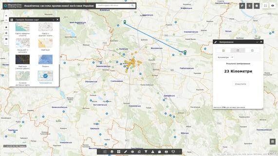
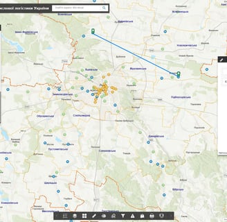
accumulate, store and display complex spatial information about transport routes (networks of highways, railways, sea and river transport routes, main pipelines, etc.);
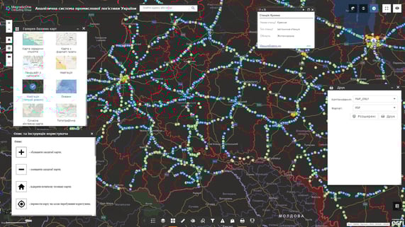
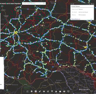
store and display spatial information about transport infrastructure objects;
to comprehensively analyze the transport system of the region, district, country thanks to the display of the technical parameters of each type of transport (for example, the parameters of equality, roadway strength, geometric characteristics of highways: the number of traffic lanes, the width of the traffic lane, carriageway and shoulder);
carry out analysis of existing and planning of potential logistics service facilities;
to carry out operational access, administration and updating of planning and cartographic data, orthophoto plans, digital maps;
to create a single point of access for operational services to information about the transport system and the relevant infrastructure (displaying areas of repair, reconstruction and upgrading of roads).

The cartographic platform stands out
Database of cartographic information: display of topographic and road maps, street maps, routes, orthophoto plans, etc.
Subsystem of fixing the condition of the road surface by means of mobile devices
Subsystem of monitoring and registration of traffic accidents, carrying out repairs
The analytical system is easy to use
☑ The software has an intuitive interface, the software is built on the basis of modern geoinformation technologies
☑ There is a control panel for data sets, separate map resources, layers of spatial information, etc
☑ System support does not require programming knowledge, there is no need to keep programmers in the customer's staff
☑ Building new system modules and connecting new users does not require additional software development
☑ Information is stored on the server and in the database, so maximum security is achieved, including data with limited access
☑ Regulated access to information resources thanks to the assignment of roles to system users: administrator, operator, editor
☑ System deployment includes supply of hardware and software, filling of databases, training of specialists to keep the system up-to-date, technical support